Third Party Data
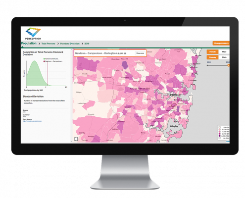
We are able to source digital data nationally and internationally. We’re a licensed Data Service Provider for the full suite of Vicmap products, and can therefore provide knowledgeable advice and competitive pricing. Third party data is for use in GIS and CAD systems. Moreover, it is suitable for producing cartographic products, managing assets, monitoring hazards, logistics planning, risk assessment and modelling.
Nexus
Nexus is a smart product which enables you to easily and quickly manage the importation of one or more incremental update files into your corporate copy of Vicmap Property and Address.
Features of Nexus:
- Enables Users to regularly and efficiently update their copy of Vicmap Property and Address
- Only updates changes to data instead of replacing the whole data file
- Generates data in an ESRI geodatabase using AGD66 or GDA94 datums (other ESRI formats and projections are available)
- Can be used for single or multiple Local Government Areas, or state-wide
- Allows users to create change-only versions of datasets for review before proceeding with integration
- Nexus runs on a standard PC running ESRI’s ArcGIS
- Nexus is easy to use and supplied with system documentation
More about Third party data
Our Expert
Jeremy Alcorn
Senior Consultant
Jeremy helps organisations turn data into business information by identifying ways in which your data can be spatially enabled and help you identify data relationships that would not otherwise be clear.
Jeremy’s role includes distributing and value-adding spatial data, identifying and locating spatial datasets for a variety of clients and purposes, and cleaning and restructuring data to meet client’s business needs. He has extensive experience in managing large data capture and conversion projects.
” Their experience of datasets is invaluable. These guys have been working with the types of data that I’m interested in and they’ve been working with it for years and they know it really well and I appreciate that.”


